|
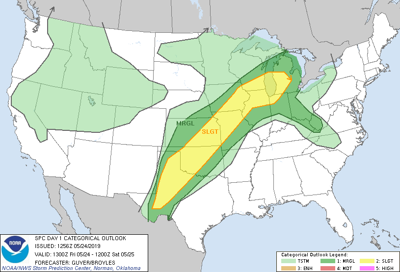
| SPC Convective Outlook |
 |
| SPC Tornado Risk |
A very frustrating chase day. After drawing the morning surface analysis, it was clear the triple point was located near Hays (KS) - where we were staying - and was then forecast to slide eastwards to near Salina (KS) by late afternoon. This would then mean the warm sector, and hence atmosphere primed for severe thunderstorms, would also shift eastwards through the day.
As such we left Hays and headed to Salina for lunch, following an early morning round of elevated thunderstorms - these may have become surface-based should there be sufficient surface heating, so we were keeping an eye on them. After lunch we nudged a little further east to Chapman (KS) to sit on the differential heating boundary, while watching towering cumulus rapidly going up and attempting to gain more volume.
 |
| Towering cumulus to our west, near Chapman (KS) |
By mid-afternoon it was clear the triple point had barely made any progress east, and was still located near Hays. Satellite imagery revealed a SW-NE orientated warm front from Hays northeastwards, so any storms that developed near the triple point would run along this boundary, given the southwesterly steering winds aloft, and would enhance their tornado potential.
However, this was a good 2 hour drive away so while my gut instinct wanted to be near Hays, we were so far away we might as well chase the developing storms some 50 miles to our east - the problem is we were on the wrong side of them, and so ultimately spent a frustrating couple of hours trying to get round them. One of the thunderstorms produced a (damaging) tornado in Lyndon (KS), which we got as close as 15 miles away but it was a very large storm with a lot of precipitation and made it very hard to get a visual so we decided to ditch this storm. This tornado then went on to affect parts of Lawrence (KS) and Kansas City.
By this point we had already seen several photos of the tornado episode north of Hays, near Waldo (KS). A new storm had fired up near Wichita (KS) and was heading northeast, so we headed southwest to meet it but as soon as we arrived it pretty much died in front of us, which just added to the frustration of the day. We parked up to watch the lightning as the sun set, then headed to Wichita for the night - while trying to work out what we could've done differently in order to realise the potential near Hays earlier. Always frustrating when the place you started the day at is the place that then produces tornadoes!
 |
| Decaying thunderstorm near Cassoday (KS) |
 |
| Thunderstorm near Cassoday (KS) |
 |
| GPS Route Tracker |