 |
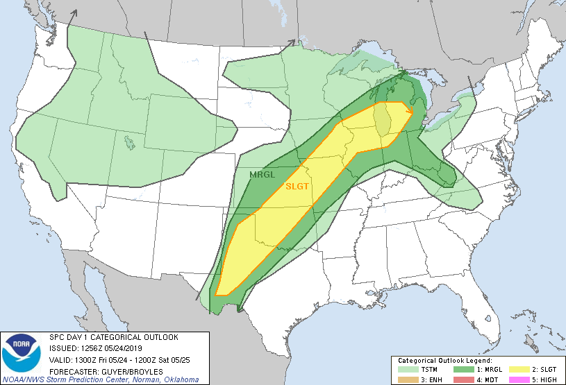
| SPC Convective Outlook |
 |
| SPC Tornado Outlook |
Not a great deal to talk about today - we had to drive back to Denver Airport to change our hire vehicle as it was too small, which took about 3 hours in total. Then we headed east and south toward NW Oklahoma as this is where we needed to be for Day 2 - but there was the chance of getting onto a storm late in the day.
 |
| View of the snow-topped Rockies on our drive back to Denver Airport |
 |
| Some cool cirrus formations in otherwise largely clear blue sky |
We could see a line of thunderstorms in the distance for most of this 8 hour journey, along the cold front that was straddling southern Kansas and northern Oklahoma. As we neared Buffalo (OK) a thunderstorm became severe-warned to our east, so we headed towards it to see what it might produce. Sadly it didn't last long and soon fizzled, but it did produce 2 CGs (cloud-to-ground lightning), so not a bust!
 |
| Line of severe thunderstorms over central and northern Oklahoma, caused significant flooding issues on already saturated (or flooded) ground |
We ended the day at Woodward (OK), a 630 mile trip, roughly in the right location for the following day's expected storms.
 |
| GPS Tracker |


No comments:
Post a Comment